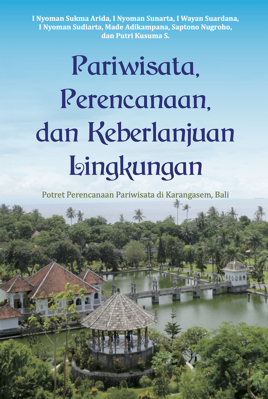
TOURISM, PLANNING, AND ENVIRONMENTAL SUSTAINABILITY The Portrait of Tourism Planning in Karangasem, Bali
I Nyoman Sukma Arida, I Nyoman Sunarta, I Wayan Suardana, I Nyoman Sudiarta, I Made Adikampana, Saptono Nugroho dan Putri Kusuma S.
ISBN : 978-602-53487-0-9 Published : 2019
Abstrak
The dynamics of tourism development in Karangasem Regency is crucial in observing Bali's tourism holistically. There are at least two arguments underlying this. First, the Karangasem Regency is "the head" of the island of Bali, both heads in geographical and symbolic terms. In a geographical sense, in Karangasem lies Mount Agung which is the highest mountain in Bali and is still active. The eruption of Mount Agung in 1963 and 2017 proved to have had a physical, social, economic, policy, and political influence on the order of life of the Balinese people. Symbolically, Besakih Temple as a temple especially for Hindus is also located in the Karangasem area. Second, the Karangasem area has a coastline of 87 kilometers (number three in Bali, after Buleleng and Jembrana). Along the Karangasem coastline from Padang Bai, Labuhan Amuk, Candidasa, Seraya, Amed, to Tulamben Beach there are dive spots that have been famous since the beginning of tourism to develop in East Bali. Even the diving area in Candidasa has one rare species of coral reef, namely Karang Jepun (Euphyllia Baliensis) which is only found in these waters throughout the world. Tulamben also has a diving point which is the location of the sinking of the battleship Liberty USA.
The phenomenon of the viscosity of the appearance of mountains and beaches that show a variety of tourism activities and the typical community is explained in this book and is known as the spiritual tourism model that is Nyegara-Gunung. All the discussion in this book will invite readers to explore further the dialectics of Karangasem tourism planning and development which is reflected in the various interactions of existing tourism actors.
